
Inspect
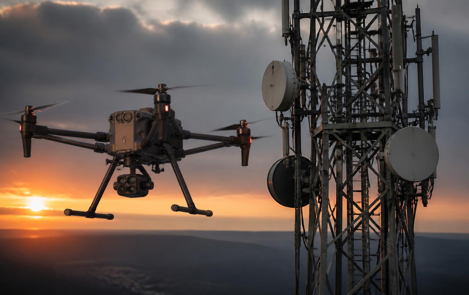
We capture what's actually there — 3D imagery, thermal data and high-resolution visual documentation of towers, monopoles and infrastructure — without requiring a physical climb.
A Division of Le.Monel Group
Drone-based 3D imagery, LiDAR scanning, thermal inspection and high-resolution visual assessment developed for wireless telecommunications and critical infrastructure — supporting projects from pre-build verification through asset inspection, maintenance planning and decommissioning.
Our Approach
Every aerial inspection is built around three core principles that turn raw drone data into clear, actionable evidence.
We capture what's actually there — 3D imagery, thermal data and high-resolution visual documentation of towers, monopoles and infrastructure — without requiring a physical climb.
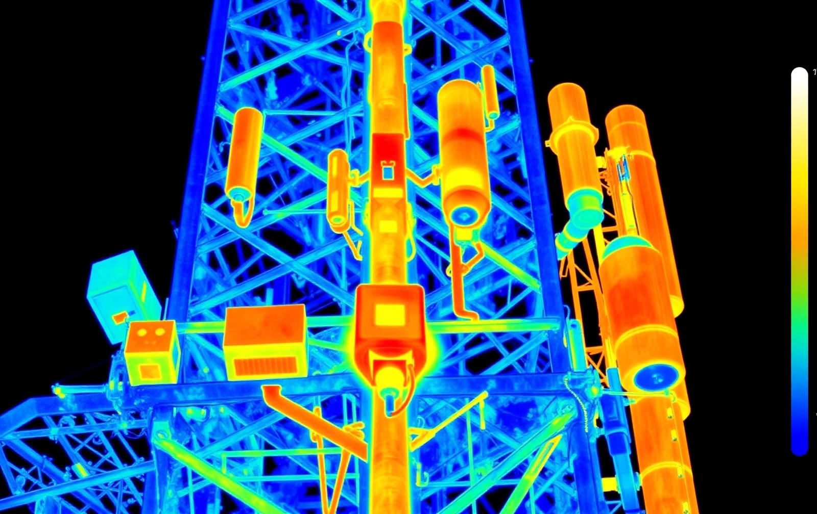
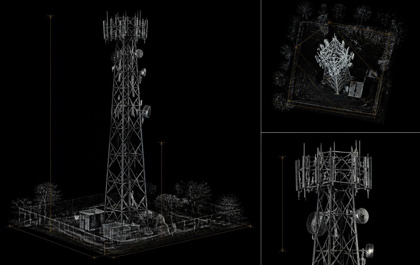
Raw data becomes actionable intelligence. We process drone captures into precise 3D structural models, thermal analysis and defect documentation — ready to support design, inspection and engineering review.
From pre-build validation against design specifications, through to decommissioning verification — our reports provide objective, geotagged evidence that infrastructure conditions can be reviewed.
Our Services
Each service is scoped to a clear deliverable, with data captured to support engineering, quality and asset-management decisions.
Why Drone-Based Inspection
Drone inspection removes the need for physical climbs while delivering data that is easier to verify, share and act on.
Our Technology
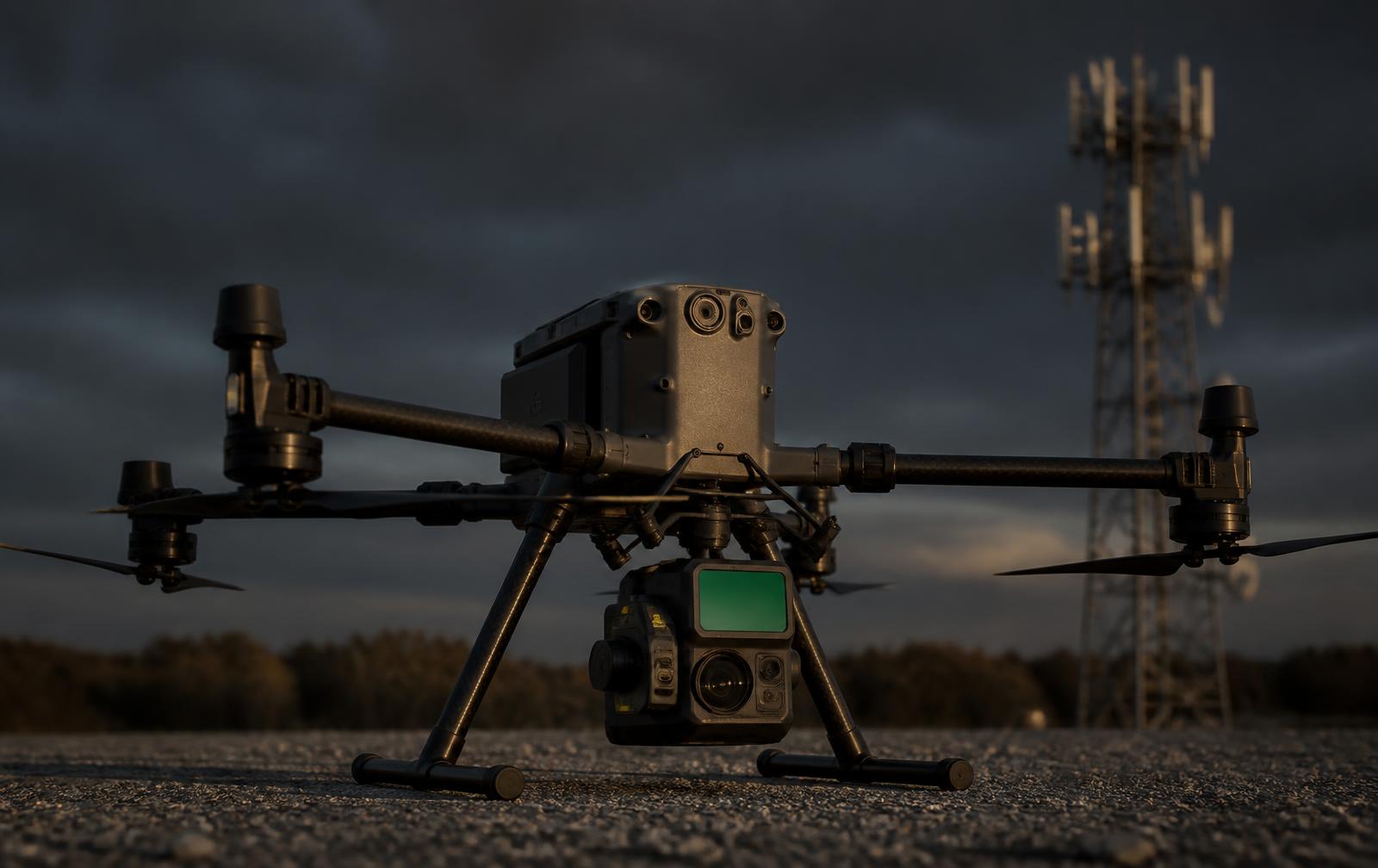
Enterprise UAV platforms and specialist payloads are selected according to the inspection objective, site conditions and required deliverables.
Data can be delivered with geotagging, timestamps and structured documentation to support asset management, technical review, project close-out and incident documentation.
How It Works
We confirm site details, access requirements, design specifications (RFDS or equivalent) and inspection objectives — ensuring the capture brief matches your exact needs.
On-site drone survey using 3D, thermal and/or LiDAR capture as required. All flights conducted in accordance with CASA regulations and site safety protocols.
Raw drone data is processed into 3D models, thermal analysis and defect documentation. We cross-reference findings against your design specifications and flag deviations with severity ratings.
Clear, actionable report delivered to your team — ready to support QIS review, design decisions, rework prioritization and project close-out. Reports include high-resolution imagery, 3D models where applicable, and documented findings.
About Le.Monel Aerial
Aerial inspection led by field experience — not just drone piloting.
Le.Monel Aerial was built by people who have spent years on towers — doing quality inspection, rigging infrastructure and understanding what carriers and contractors actually need from inspection and verification.
We understand the pressure: a failed QIS costs time and money. A decommissioning dispute creates liability. A new build plan based on inaccurate site intelligence leads to delays. That's why our reports aren't just drone footage — they're built from direct knowledge of what inspectors, engineers and project managers are actually looking for.
Commercial UAV operations will be undertaken in accordance with applicable CASA requirements, site-specific safety requirements and airspace approvals.
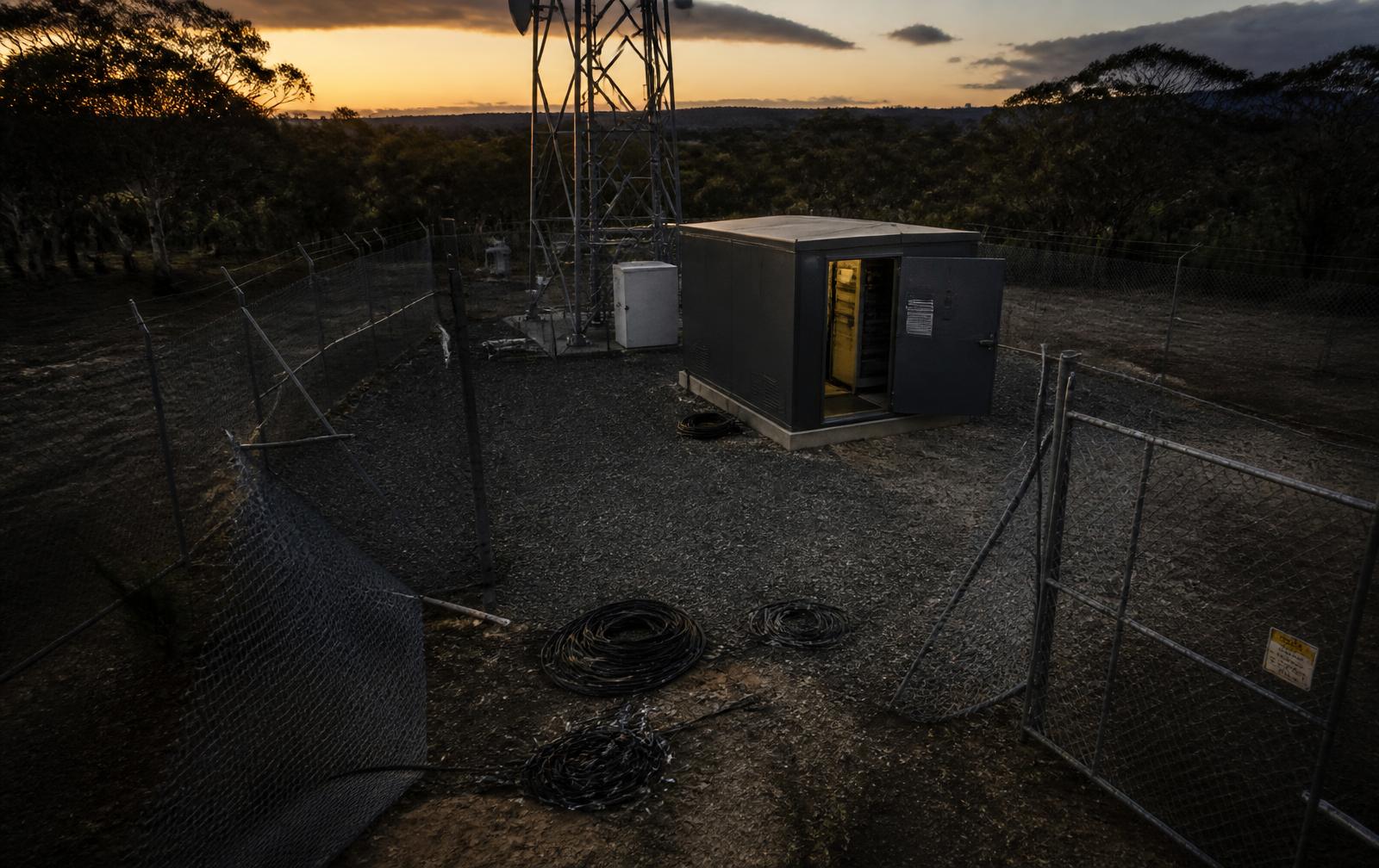
Aerial Support for Site Security & Incident Assessment
Le.Monel Aerial provides rapid aerial inspection and digital documentation following break-ins, vandalism, copper theft, equipment theft and unauthorised entry at telecommunications and critical infrastructure sites.
Le.Monel Aerial documents observable site conditions only. It does not conduct security patrols, surveillance of people, forensic investigation or any police function. Priority incident reporting available subject to operational requirements.
Explore Le.Monel SecurityProcess
The carrier, tower owner or site operator identifies a break-in, vandalism, copper theft, equipment theft or infrastructure damage and follows its established security and police reporting procedures.
Once the site is safe and authorised for access, Le.Monel Aerial can deploy to conduct a detailed aerial and ground-supported assessment.
High-resolution visual imagery, thermal inspection and, where required, 3D site capture document the condition of the affected infrastructure, perimeter and surrounding area.
Structured imagery and inspection findings are prepared to assist with incident documentation, asset-loss assessment, insurance requirements and restoration planning. Priority incident reporting available subject to operational requirements.
Where required, the assessment can support the development of a telecommunications restoration scope, while Le.Monel Security can provide appropriate protective security services.
One Group
Protect • Prevent • Respond
Inspect • Capture • Assess
Scope • Repair • Restore
One group. From incident response and digital assessment through to infrastructure restoration.
Ready to reduce build delays, failed inspections and infrastructure disputes? Contact us to discuss your next site inspection or to request a pilot survey.